
Drone, LiDAR & aerial mapping.
(Your property / Your next step)
See the site from a different perspective.
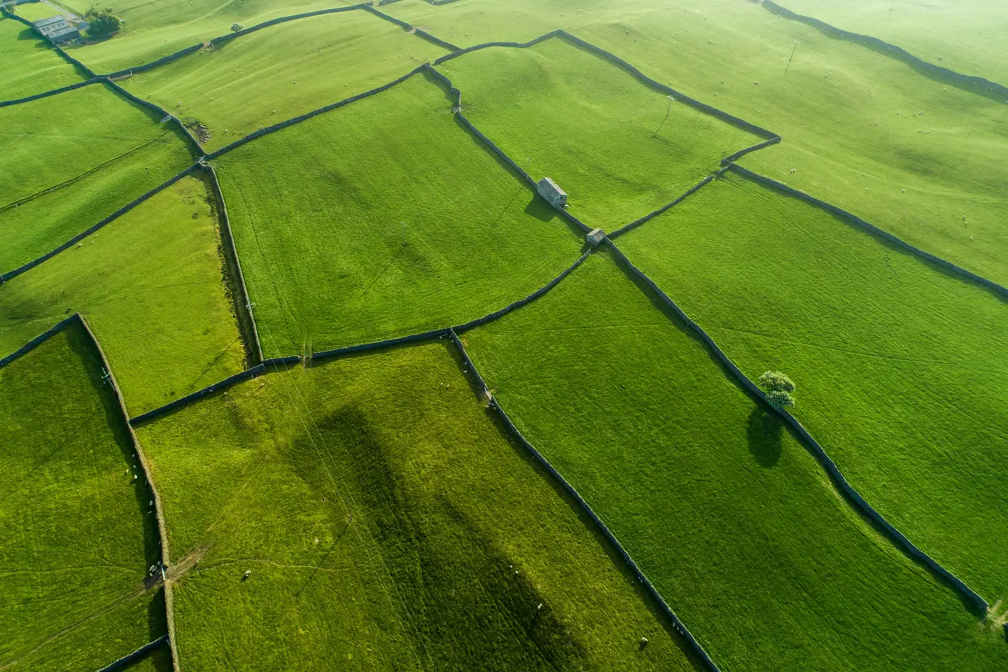
Conexus uses drone-based data collection and LiDAR scanning to support land surveying, aerial imagery and site mapping. Drone operations are performed by a licensed pilot, with survey professional involvement as the scope requires.
- Drone aerial photography
- LiDAR scanning
- Site data collection
- Mapping & modeling coordination
Useful information to get started
- Site address and approximate area
- The information or deliverable you need
- Access conditions and intended timeline