
Every project starts
with understanding
the ground.
(EXPLORE SURVEYING) ↓Know where you stand.
See what comes next.
Property decisions start with reliable information. Conexus connects land surveying, field data and project coordination to help owners, builders and development teams understand their sites.
Based in Marysville, Washington, we work with Professional Land Surveyors and other specialists to support your project—from property corners and title documentation to construction layout and aerial mapping.
LAND.
IN FOCUS.
(Survey services — 05)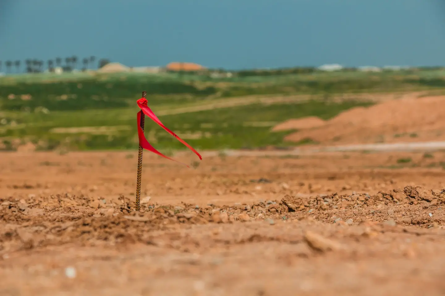
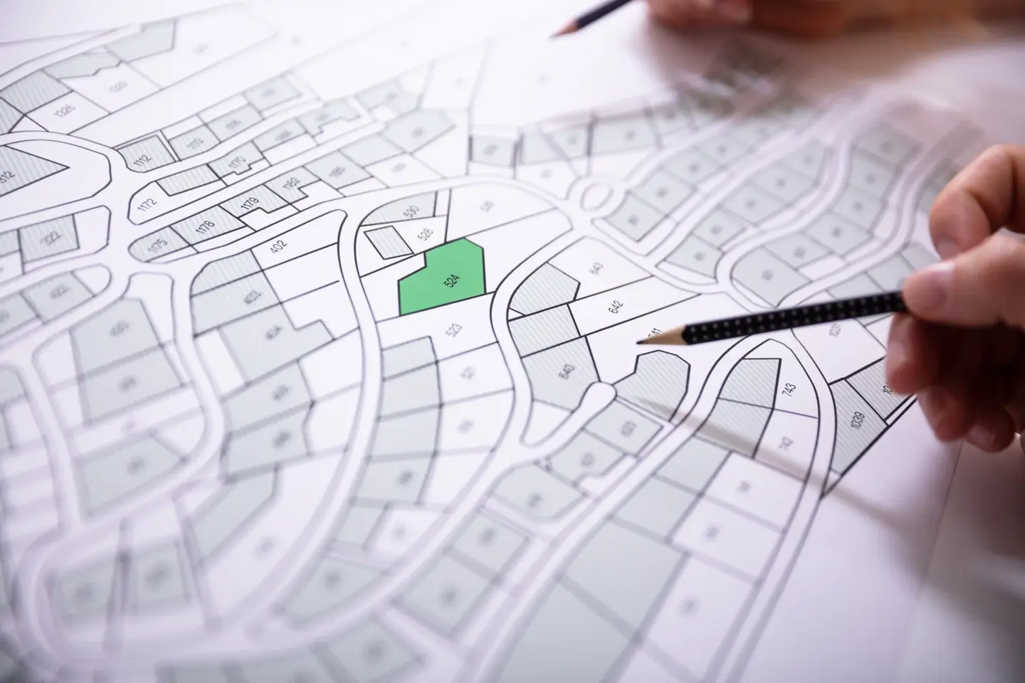
Boundary & topographic surveys
EXPLORE ↗For property owners, designers and development teams who need a clear view of boundaries, terrain and existing site features.

Title, easements & property records
EXPLORE ↗For property transactions, access needs and questions about how a parcel is described.
Flood elevation & LOMA support
EXPLORE ↗For owners and project teams gathering elevation information for flood documentation or land-use permitting.
Construction staking & site support
EXPLORE ↗For builders, owners and civil teams moving from planning into site work.
Drone, LiDAR & aerial mapping
EXPLORE ↗For project teams who need aerial information to understand and document a site.
Land use planning
EXPLORE ↗Feasibility, land development and permitting. Connect the site’s possibilities with a practical path forward.
Tell us what you’re planning.
We’ll help define the scope.
START A CONVERSATION ↗The full picture.
Explore survey services by name or project type. Select a service to discuss your property, scope and required deliverables with Conexus.
174 services
Property, boundaries & title
- Boundary Survey
- Property Corner Location / Monument Recovery
- ALTA/NSPS Land Title Survey
- As-Built / Record Survey
- Building / House Location Survey
- Boundary Line Adjustment / Lot Line Adjustment
- Easement Survey / Exhibit
- Legal Description Preparation
- Setback Verification Survey
- Mortgage / Closing Survey
- Improvement Location Survey
- Record of Survey / Survey Recording
- Right-of-Way Boundary Survey
- Land Acquisition / Due Diligence Survey
- Well / Septic System Location Survey
- Encroachment Survey
- Survey Update / Recertification
- Building Façade Survey
- Right-of-Way Acquisition Mapping
- Eminent Domain / Condemnation Survey
- Lease Area Survey
- Condominium / Unit Boundary Survey
- Conservation Easement Survey
- Historical Boundary Retracement
- Forensic Boundary Survey
- Expert Witness / Litigation Survey
- Boundary Dispute Resolution Consulting
Development & site planning
- Topographic Survey
- Boundary & Topographic Survey
- Existing Conditions / Site Survey
- Residential Lot / Plot Survey
- Subdivision Survey / Platting
- Tree Location Survey
- Short Plat / Lot Split Survey
- Replat / Resubdivision Survey
- Lot Consolidation / Merger Survey
- Pre-Engineering / Design Survey
- Vertical Control / Benchmark Survey
- Horizontal Control Survey
- Site Plan Base Mapping
- Measured Building Survey
- Stockpile Volume Survey
- Earthwork Cut / Fill Volume Survey
- Landfill Volume / Capacity Survey
- ADA Accessibility Measurement Survey
- Parking Structure / Garage Survey
Construction & layout
- Construction Staking / Layout
- Foundation Staking
- Foundation Location / As-Built Survey
- Grading / Elevation Certification Survey
- Property Line Staking
- Fence Line Survey / Staking
- Pool / Addition / Accessory Structure Layout
- Easement Staking
- Excavation / Grading Layout
- Building Footprint / Grid Layout
- Building Pad / Finished Grade Certification
- Building Height Certification
- Tunnel Alignment / Underground Construction Survey
Roads, infrastructure & utilities
- Utility Location / Mapping Survey
- Utility Construction Staking
- Roadway / Curb / Sidewalk Staking
- Utility As-Built Survey
- Street / Utility Dedication Plat
- Corridor Topographic Survey
- Roadway Profile / Cross-Section Survey
- Municipal Infrastructure Survey
- Highway / DOT Route Survey
- Road Centerline / Alignment Survey
- Intersection Improvement Survey
- Bridge Site Survey
- Culvert Survey
- Sanitary Sewer System Survey
- Stormwater Facility Survey
- Stream / Creek Cross-Section Survey
- Drainage Structure Invert Survey
- Utility Corridor Survey
- Subsurface Utility Engineering (SUE) Survey Support
- Underground Utility Mapping / GPR Support
- Overhead Utility / Pole Survey
- Electric Transmission Line Survey
- Pipeline Route Survey
- Fiber-Optic / Telecommunications Route Survey
- Railroad Survey
- Municipal Asset Inventory Survey
Aerial, LiDAR & digital mapping
- GIS Data Collection / Asset Mapping
- Aerial Photogrammetric Survey
- UAV / Drone LiDAR Survey
- Terrestrial 3D Laser Scanning
- Mobile LiDAR / Mobile Mapping
- Scan-to-BIM / As-Built 3D Modeling
- Aerial Ground Control / Checkpoint Survey
- Historic Structure / Heritage 3D Survey
- LiDAR Change Detection Survey
- Emergency / Disaster Damage Mapping
Environmental, flood & coastal
- FEMA Elevation Certificate
- Drainage / Surface Flow Survey
- LOMA / LOMR Survey Support
- Wetland Boundary Location Survey
- Levee / Flood Control Survey
- Mean High Water Line Survey
- Riparian / Littoral Boundary Survey
- Coastal Construction Control Line Survey
- Beach Profile Survey
- Coastal Erosion Survey
- Seawall / Bulkhead Survey
- Wetland Buffer Survey
- Environmental Remediation Site Survey
- Landfill Cap / Closure Survey
- Contaminated Site Topographic Survey
- Stream Restoration Survey
- Wetland Mitigation As-Built Survey
Monitoring & precision
- Floor Flatness / Levelness Survey
- Monitoring Well Location / Elevation Survey
- Flood-Control Structure Settlement Survey
- Structural Deformation Monitoring
- Settlement / Subsidence Monitoring
- Building Tilt / Plumbness Survey
- Bridge Deflection / Movement Monitoring
- Dam Deformation Monitoring
- Landslide / Slope Movement Monitoring
- Retaining Wall Movement Monitoring
- Excavation / Shoring Monitoring
- Tunnel Convergence Monitoring
- Dynamic Displacement Monitoring
- Industrial Precision / Dimensional Survey
- Machinery Installation / Alignment Survey
- Crane Rail / Gantry Alignment Survey
- Storage Tank Geometry / Capacity Survey
Marine & hydrographic
- Bathymetric Survey
- Dredging Pre- / Post-Survey
- Underwater Obstruction Survey
- Harbor / Navigation Channel Survey
- Reservoir Sedimentation / Capacity Survey
- Submerged Pipeline / Cable Survey
- Offshore Installation Survey
- Seabed Terrain / Seafloor Mapping
- Integrated Topobathymetric Survey
- Autonomous Vessel Hydrographic Survey
- Side-Scan Sonar Feature Survey
- Marine Structure / Pier Survey
Energy, resources & specialized work
- Quarry Survey
- Surface Mining Survey
- FAA 1A / 2C Obstruction Survey
- Telecommunications Tower Lease Survey
- Communications Tower Height Survey
- Rooftop Telecommunications Survey
- Solar Farm Survey
- Wind Farm Survey
- Substation Survey
- Power Line Sag / Clearance Survey
- Oil / Gas Well Pad Survey
- Pipeline Depth-of-Cover Survey
- Pipeline Integrity / Anomaly Dig Survey
- Air Rights Survey
- Agricultural / Farm Management Survey
- Cemetery / Burial Plot Survey
- Archaeological Site Mapping
- PLSS Section / Township Retracement
- Federal Cadastral Survey / Resurvey
- Mineral Claim Survey
- Tribal / Allotment Land Survey
- High-Order Geodetic Control Survey
- GNSS Reference Station / CORS Support
- Underground Mine Survey
Custom requests
Land use planning
No matching services. Try another term or tell us about your project ↗.
A clear scope.
A connected team.
01 Start with your goal +
Share your property details, your intended use and the decisions you need to make.
02 Define the work +
We discuss records, site access and deliverables, and coordinate the survey professionals and specialists needed for the scope.
03 Connect field and project +
Field information and documentation support the next step, whether that’s property planning, a transaction or construction.
A few useful
answers.
Which survey do I need?+
Start with what you want to do: locate corners, plan improvements, prepare for a transaction or support construction. Share your property details and goal so we can discuss the right scope.
Who performs the professional survey work?+
Conexus works with a Professional Land Surveyor for boundary, topographic, title, record-of-survey and other professional survey work, as described in our services. We coordinate the project scope and the professionals needed.
What should I provide for a quote?+
A property address or parcel number, a short description of your goal, and your desired timing. Existing surveys, deeds, title documents or approved plans are also useful if you have them.
How much does a survey cost, and how long does it take?+
Cost and timing depend on the scope, property size, access, available records and required deliverables. We review your project details before confirming a proposal or schedule.
Can you help with planning or construction too?+
Yes. Conexus also offers land use planning, project management, civil earthwork, general contracting and virtual construction design. We can discuss related support when you enquire.